“South Carolina 7” is a concept created by world-renowned explorer and SC7 Expedition Team Leader, Tom Mullikin. As Tom and his son, Thomas, were sitting at base camp of Mount Everest several years ago discussing their goal of hiking “the Seven Summits” (a mountaineers challenge of hiking the tallest summits on each of the world’s seven continents), Tom wanted to identify seven locations in South Carolina that every South Carolinian should strive to experience. Working in partnership with the South Carolina National Heritage Corridor, the seven locations were identified that are unique to the natural environment and ecosystems of the state.
We encourage each of you to add the “South Carolina 7” to your bucket list. They can be visited on your own or with an experienced outfitter or guide. And, each season of the year provides a different experience, so make sure to visit more than once to truly understand and appreciate these amazingly diverse and beautiful places.
NUMBER 1 - CHATTOOGA RIVER
Famed as the location of the movie Deliverance, the Chattooga River is the crown jewel of southeastern rafting in a truly natural undeveloped setting offering the best and most challenging whitewater in the Blue Ridge and Smoky Mountain region. The Chattooga was named a National Wild and Scenic River on May 10, 1974 - just six years after the Wild and Scenic Rivers Act was established on October 2, 1968. The Wild and Scenic Rivers Act is celebrating its 56th anniversary this year.
NUMBER 2 - SASSAFRAS MOUNTAIN
Sassafras Mountain, the Roof of the Palmetto State, is the highpoint of South Carolina at 3,533 feet above sea level. The geology of Sassafras Mountain reflects millions of years of plate tectonics. It lies within the inner Piedmont belt and is thought to be part of a continental fragment that attached or even reattached North America during the Middle Ordovician at a time of continental collision and mountain building called the Taconic Orogeny (mountain-building episode). These geologic processes caused active stream down-cutting and the resultant modern scenic gorges and waterfalls that surround Sassafras Mountain.
NUMBER 3 - JOCASSEE GORGES
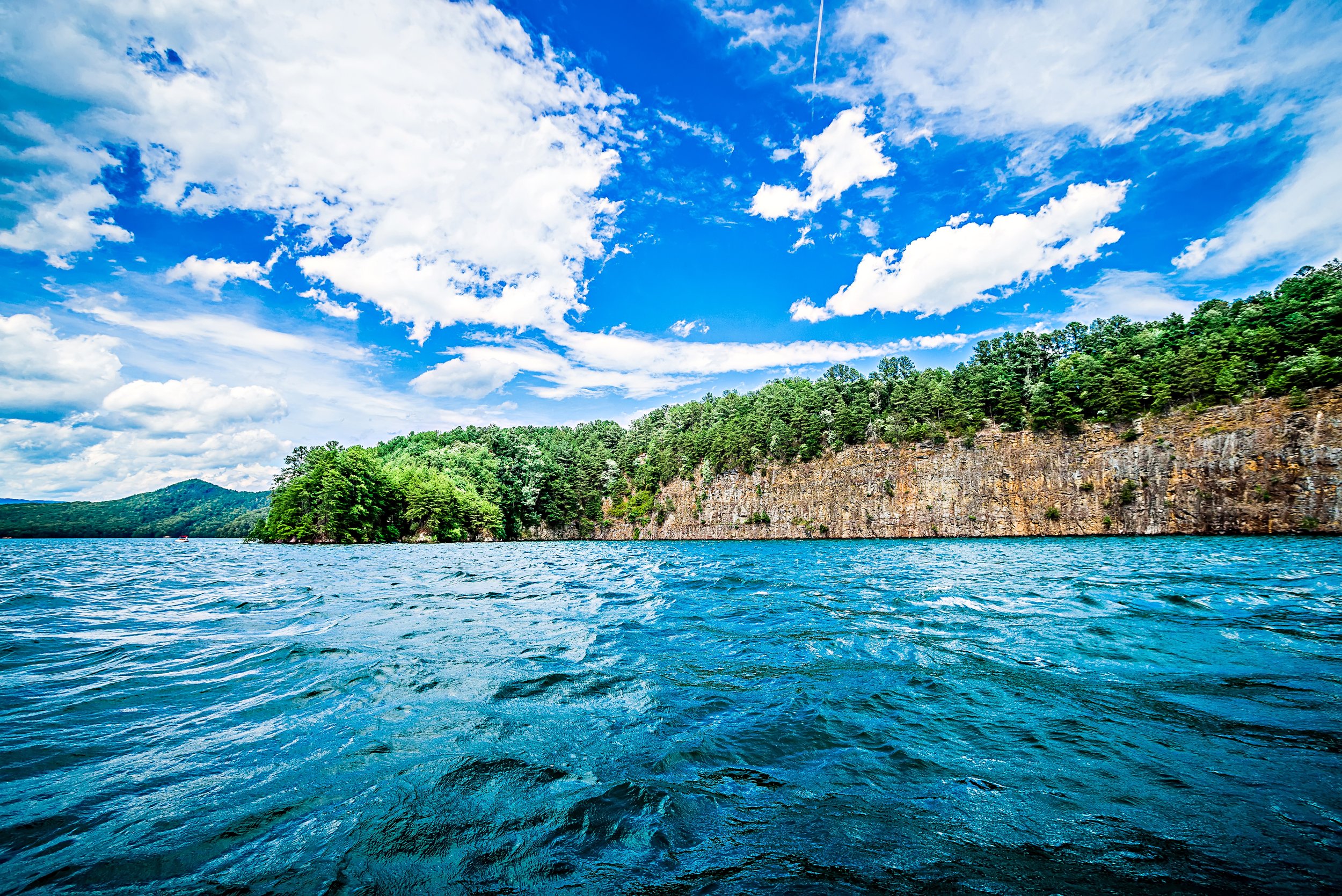
Named by National Geographic as one of the “50 of the Last Great Places.” In the uppermost reaches of South Carolina, the clear waters of Lake Jocassee splash against the base of the Blue Ridge Escarpment that represent the sharp transition between the South Carolina Mountains and the Piedmont. Here forested slopes drop in elevation by 2,000 vertical feet in a matter of one to two miles. The name “Jocassee,” according to Native American legend, means “Place of the Lost One.” The region is characterized by a high diversity of flora and fauna as a result of its location at the interface between the mountains and piedmont. Both mountain and piedmont plant communities are represented in the area creating a transitional zone from lower rolling hills to higher elevation mountains. The region has drawn the attention of scientists for centuries. It is where, in the mid-1700s, William Bartram discovered the famed azalea along with other species new to science and enjoyed “a view inexpressibly magnificent and comprehensive.”
NUMBER 4 - CONGAREE NATIONAL PARK
Congaree National Park contains the largest remaining area of old growth bottomland hardwood forest in North America. The Congaree boasts the tallest known specimens of 15 species! Emerging above the canopy layer is a loblolly pine that looks down on everything from 167 feet, just 18 feet shy of the Boogerman white pine in Great Smoky Mountains National Park, the tallest known tree in the East. Among the other first-place record holders for loftiness in the canopy are a sweetgum (157-feet), a cherrybark oak (154 feet), an American elm (135 feet), a swamp chestnut oak (133 feet), an overcup oak (131 feet), a common persimmon (127 feet), and a laurel oak (125 feet). The Congaree is known as the “Redwoods of the East.” The Congaree is currently home to six national- and 23 state-champion trees. For every three-square miles, there are two champion trees.
NUMBER 5 - EDISTO RIVER
The Edisto River’s name originated from the word edisto, a Native American term that means “black” and refers to the dark color of the river created from decaying leaves and other plant material. The Edisto is considered the longest free-flowing blackwater river in the United States and one of the longest worldwide. The Edisto supports several rare, nationally threatened, and endangered species such as the red-cockaded woodpecker, southern bald eagle, wood stork, loggerhead turtle, and short-nosed sturgeon.
NUMBER 6 - ACE BASIN
The Ashepoo, Combahee and Edisto Basin (abbreviated as ACE Basin, and pronounced “ace basin”) is one of the largest undeveloped estuaries along the Atlantic Coast of the United States. Located primarily in Colleton, Charleston, and Beaufort counties in South Carolina, the Ashepoo, Combahee and South Edisto rivers combine into the larger St. Helena Sound and drain a significant portion of the Lowcountry region. The 350,000 acres known for its natural environment and the preservation of its marshes, wetlands, hardwood forests, riverine systems and the fauna that occupy the area. National Geographic called this area “one of the last great places” on earth.
NUMBER 7 - BULL ISLAND
Bull Island is arguably one of South Carolina’s most beautiful and remote places. The largest of four barrier islands found within the Cape Romain National Wildlife Refuge, Bull Island is a 5,000-acre maritime forest with fresh and brackish water impoundments and a beach area. The six-and-a-half-mile uninhabited island remains virtually untouched and is home to countless wildlife and endangered species and has a world-renowned reputation for its bird life. More than 275 species of birds are found on or near the island. The place is a nature and bird-lover paradise.


